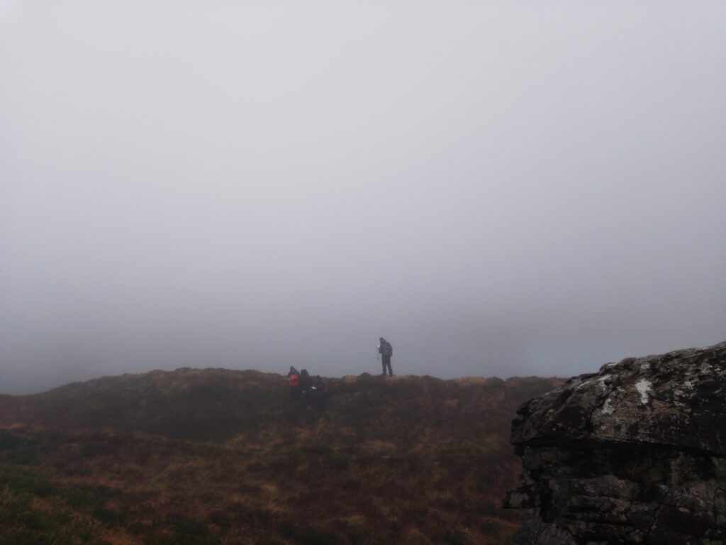
 Some handy tricks in terms of map reading and mountain navigation
 ![]()
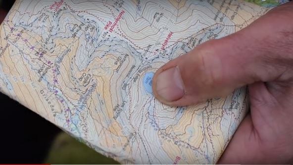
1. Avoid a cumbersome map case around your neck. Ideally get a laminated map, a ziploc bag or a very small map case.
2. Fold your map (against the creases if needed) down to smart-phone size or i-pad size. Use an elastic band if needed to keep it contained.
3. Map should be folded down to a size that can slip in and out of a pocket easily.
4. If you are doing lots of nav in a short spell of time; keep your map in your hand; ‘set’ to the features around you at all times. The map can be held down at your side as you walk, and still be set. You simply lift it straight up and you are good to map read.
5. However you hold the map, at your side, while you walk – keep your thumb on your position; so you simply look at your thumb to see your general location. This is called ‘thumbing’.
6. If you are doing a longer nav leg, such as following a handrail feature or a spur for 20-40 mins then work on your ‘map memory’. This means taking a mental photo of your nav leg, having a solid (but simple) plan in your head, then putting the map away and walking – working off your plan and that mental photo. For this to work well you also need a tick off feature or two, and a cut off feature (more here on those: https://outdoorsireland.blogspot.com/…/tick-offs-cut…)
If you are interested in learning the basics of map reading and mountain navigation to get off the trails and get self sufficient – we have a Mountain Skills 1 coming up in Killarney/Kerry on 4th & 5th Feb; or Kinvara/Galway on 4th & 5th Mar. Mountain Skills 1 Details Here: https://www.outdoorsireland.com/activities/mountain-skills/